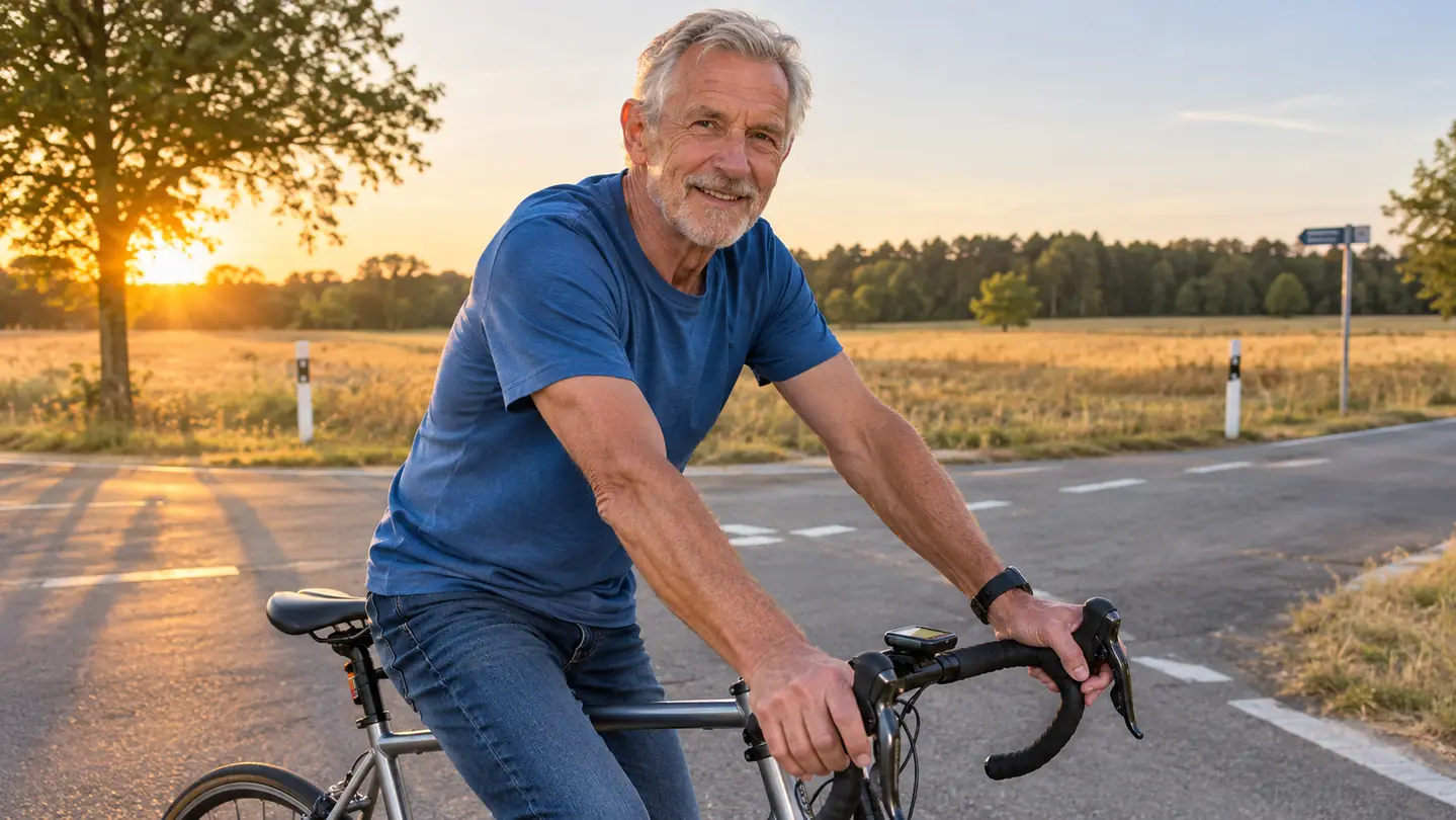
I used to plan a long route with a pencil, a paper map, and a cue sheet folded into quarters. The cue sheet went in my jersey pocket and the phone went in the bag behind the saddle, and I told myself that was enough. It was enough right up until the fall day I missed a turn on the way home from an 80 mile ride, added six miles I had not planned for, and rolled into the driveway after dark with nothing left in my legs. I was sixty five that fall. I am sixty seven now, I live in Prescott, Arizona, and I have not planned a long route on paper since.
The fix was not a new bike or a coach. It was a Garmin Edge 540, a small button operated computer that clamps to the bars and holds a route I build the night before. I bought mine in the first week of March about two years ago, in the same week I replaced four other pieces of kit that had been letting me down. I have put roughly eight thousand miles on the Garmin since, most of them on the roads out toward Chino Valley. What follows is the routine I settled into. It is not the only way to do it, but it is the one I would hand to any rider over fifty who wants a long day to come out the way it was drawn.
Build the Route the Night Before, Not at the Intersection
A Garmin Edge 540 holds the route you planned on a laptop and shows it on the bars all day. Buttons instead of glass, a 2.6 inch screen, and up to 26 hours of running time. It is the piece of kit that ended my wrong turns.
Amazon Check Today's Price on Amazon →Step 1: Rough Out the Day Before You Touch a Screen
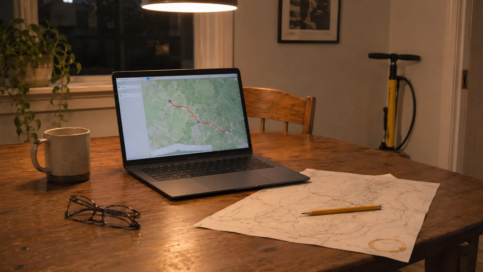
I do this at the kitchen table with a pencil and a cup of coffee, and it takes about ten minutes. The point is not precision. The point is knowing whether you are signing up for fifty flat miles or sixty with real climbing, because the answer changes what you carry, when you eat, and how much water goes on the bike. A route that looks reasonable on a screen can be a different animal once you count the climbing.
Around here a fifty mile loop still puts a lot of up under you, because Prescott sits at about 5,400 feet and most of the roads out of town go uphill before they go anywhere else. So I write down three things. The turnaround. The two places I can refill water. And the one road I will not ride after four in the afternoon, because the sun drops behind the ridge and the shoulder disappears. One April morning I left the driveway with two bottles for what I had talked myself into calling a flat fifty, and I spent the last hour of it rationing water up a grade I had not counted. Now the number on the paper decides how many bottles go on the frame and how many go in the bag, and I do not argue with it at mile forty.
Then I describe the shape of the day in plain words. Out to the valley, one long climb, a loop through the back roads, home on the highway where there is a wide shoulder. If I cannot describe a ride in three sentences, it is too complicated to ride well, and I cut something out before I ever open the laptop. If the same road name shows up twice in those three sentences, I have drawn a figure eight on myself by accident, and it gets redrawn as a proper loop right there on the paper.
Step 2: Build the Route on the Laptop, Not on the Device
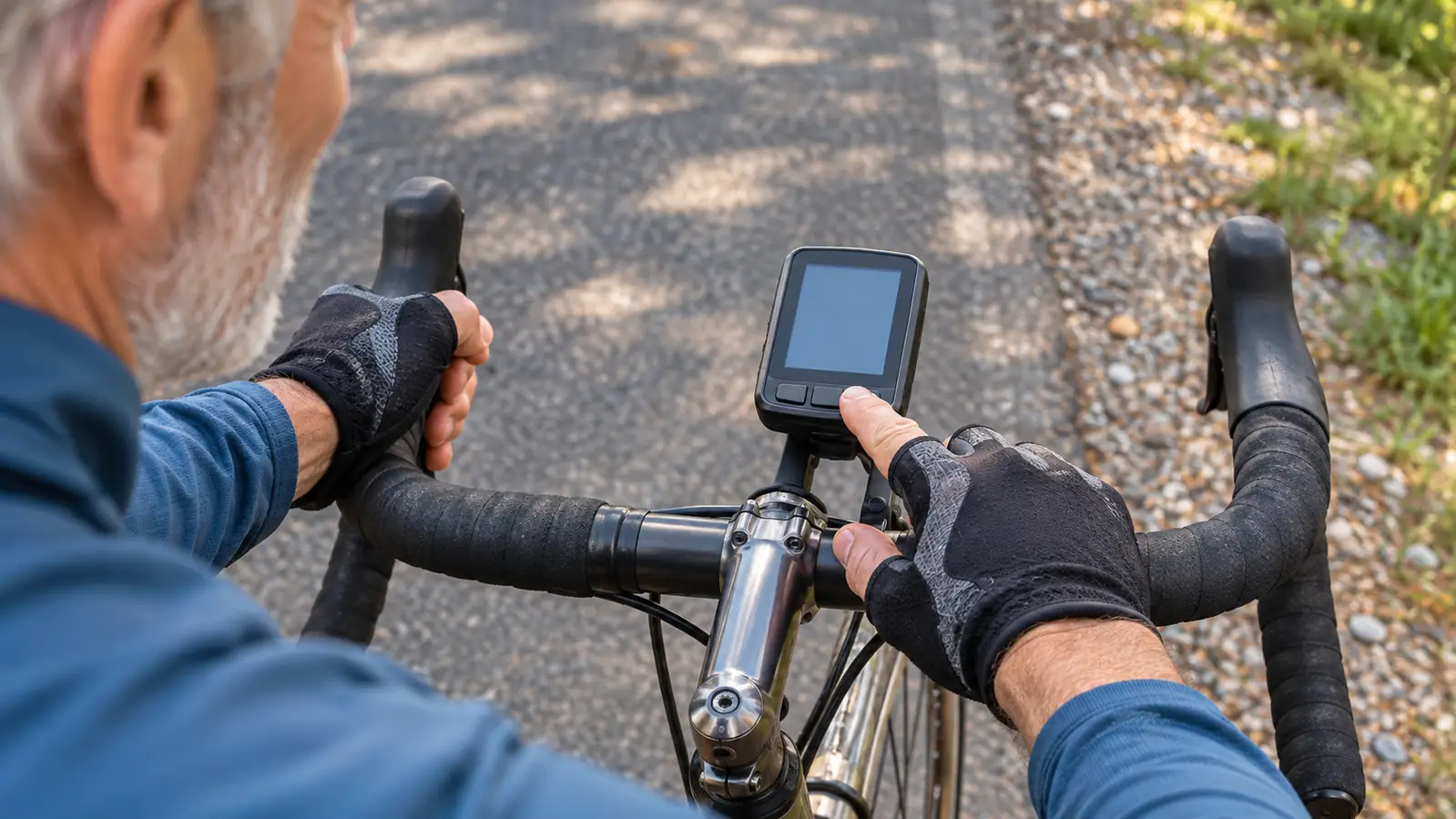
The Edge is a computer for riding. It is not a comfortable place to draw a route. I tried doing it on the device for the first week and gave up, partly because the screen is 2.6 inches and partly because I was standing in the garage with a cold cup of coffee and a menu I did not understand yet. The night before is the right time, at a table, with the map filling a laptop screen.
I type in the start, drag the line through the roads I wrote down at the kitchen table, then look at the elevation profile. If the profile shows a wall I did not expect, I move the line. That is the whole trick. You get to change your mind on a Tuesday night instead of at the bottom of a hill on a Saturday morning.
The first route I ever built is a good example of what not to do. I dragged the line down a county road that looked straight and easy on the map, and four miles in it turned to washboard gravel with a cattle guard sitting at the bottom of a dip. I rode it anyway, because the line said to, and I spent the next hour rattled and slow. Now I read the road names and the county numbers before I commit to a line. If a road changes character partway along, I either plan around it or write myself a note at the table, so it is a known thing at mile four instead of a surprise at mile forty.
Name the route something you will recognize at six in the morning. Mine are plain. CHINO 62 CLOCKWISE. PRESCOTT SOUTH LOOP. The Edge holds 16 GB, so there is room for a dozen saved routes, and I delete the ones I have outgrown. A list of nineteen routes with names like RIDE 4 is worse than no list at all.
Step 3: Send It Across and Confirm It Landed
After supper I send the route to the Edge, and then I check that it is actually on the device before I go to bed. Twice in the first month I assumed it had gone across and it had not, and I found out at the end of my own driveway with one leg already over the top tube. Now I look at the list. It takes ten seconds.
I charge it the same night. The Edge runs up to 26 hours in normal use and up to 42 hours in battery saver, which is longer than any day I ride, but a computer that dies at mile sixty is a stupid way to lose a route you spent an hour building. I have never run mine flat. I still plug it in every single time.
It pairs to my phone over Bluetooth, and I did that once, at the start, because the manual said to. I have not touched the pairing since. That is not a complaint. It is the highest praise I can give a piece of electronics at my age.
I have never run the battery flat on a ride, and my longest single day is about a hundred miles.
Step 4: Set the Screen So You Can Read It at Sixty Seven
The screen is 2.6 inches with a resolution of 246 by 322, which is fine and small at the same time. Written down, those numbers sound generous. In the sun, angled up off the bars at a man my age on a chip seal road, they make a small square. Without my readers I can read the map line and the big numbers and not much else. So I set the device up the way I would set up a shop drawing. Fewer things, bigger, in the order I actually need them.
I keep the map on one screen and a plain set of numbers on the other. On a road I know, I ride on the numbers. On a road I do not know, the map stays up and I glance at it at junctions rather than in the middle of a descent. That is a habit worth building. Staring down at a small screen while the front wheel is rolling fast is how a man my age ends up in a ditch. I keep a pair of readers in a case in the seat bag for the times I need to read something properly, and I have used them twice, both times standing still at a stop sign.
The controls are buttons, not a touchscreen, and that is the reason I bought this one instead of something with glass. In November I wear a winter glove and I can find the button I want by feel. On a cold morning with a numb hand, a glass screen and I do not get along. It took me about two weekends to stop hunting through menus, and I am not a fast study with these things.
Step 5: Ride the Route and Use the Climb Screen on the Climbs
The value of a route on the bars is not that it tells you where to go. It is that you stop stopping. I used to pull over three or four times on an unfamiliar loop to unfold a cue sheet and get my bearings. Now I keep pedaling and glance down. On a sixty mile day that is worth more than any single thing bolted to the bike, because the stops are what turn a five hour ride into six and a half.
I have a clean comparison for this, because I rode the same loop both ways. Last May I did a sixty two mile loop out past the fairgrounds with the route on the bars, and the year before I had done that identical loop off a folded cue sheet. The year before took me six hours and ten minutes of riding time plus the stops. Last May it came in at five hours and forty. I was not any fitter. I had simply quit standing on the shoulder with paper in my hand.
On the climbs I switch over to ClimbPro, which shows what is left of the ascent and the grade you are on. On the long grind out of the valley, knowing there is a mile and a half left and that it eases near the top is the difference between settling into a rhythm and blowing up halfway. It does not make the hill shorter. It makes the hill honest, and I can pace an honest hill.
What I do not use is the coaching and the training plans. I own no power meter and I have no interest in being coached at this point in my life. If you want to be told when to sprint, this is not the article for you. If you want to ride fifty to seventy miles twice a week without getting lost, this whole routine will fit in a shoe box.
What Else Helps
I still fold a paper cue sheet and put it in my jersey pocket. Not because the Garmin has let me down, but because a battery, a satellite, and a man my age all have bad days. The cue sheet costs nothing and weighs nothing, and on the one afternoon a route did not load, it got me home.
Check your tires before you leave, not at mile forty. I run about 60 psi in front and 65 in the rear on 32 mm tires, and that is my own setting, not a rule for anybody else. I landed on those two numbers after a couple of seasons of fiddling, and I wrote them in pencil on the wall above the bench so I do not have to think about it at seven in the morning. I top up with the floor pump in the garage before every ride, because squeezing a tire to guess the pressure is how I spent three years riding around on the wrong number.
The seat bag carries the things a computer cannot do for you. One spare tube, a patch kit, two plastic tire levers, and the M19. I have used the chain tool on that multi tool exactly once on the road, and that once was worth carrying it for two years. The Edge tells you where you are. It does not fix a flat.
And tell somebody where you are going. I give Ed the route name and the rough shape of the day before I leave the driveway. He is seventy, he rides with me about half the time, and if I am not back when I said I would be, he knows which road to come looking on. A route on a screen is a plan. Somebody expecting you is a safety net, and they are not the same thing.
A Route on the Bars Beats a Cue Sheet in Your Pocket
Plan it at the kitchen table, build it on the laptop, check it before bed, and ride it with the map in front of you. That is the whole method, and the Garmin Edge 540 is the part of it that sits on the bike.
Amazon Check Today's Price on Amazon →